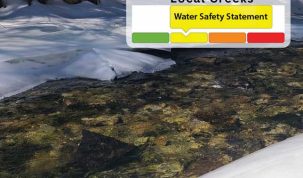
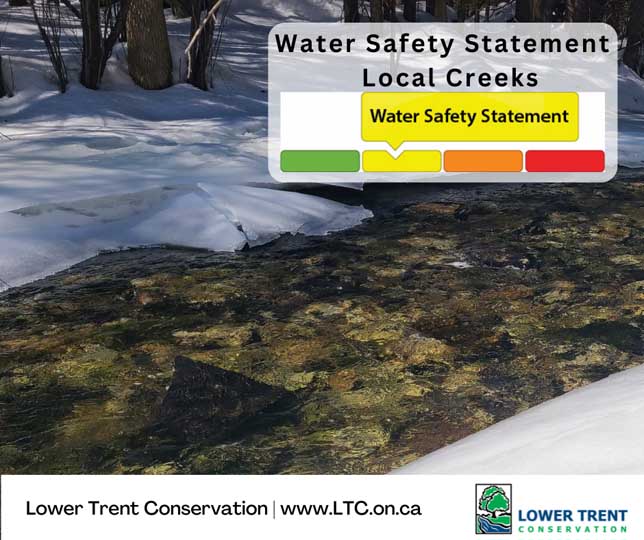

A Watershed Conditions Statement – Water Safety is issued during high flows, unsafe banks, melting ice or other factors that could be dangerous for recreational users such as anglers, canoeists, hikers, children, pets, etc.
ISSUED TO: Municipalities (Alnwick/Haldimand, Brighton, Centre Hastings, Cramahe, Quinte West, StirlingRawdon, Trent Hills), Northumberland & Hastings Counties, Ministry of Natural Resources,
Parks Canada – Ontario Waterways, Ontario Power Generation, Innergex, Media, Health Units,
Emergency Response Agencies
MESSAGE #: LTC – 26 – 01 Valid until Friday, March 13, 2026 at 4:00pm
Lower Trent Conservation advises municipalities and the public that a Watershed Conditions Statement – Water Safety has been issued for the local creeks within the Lower Trent Watershed region (area stretching from Grafton to Quinte West and from Lake Ontario to Rice Lake and east to Centre Hastings). It is important to note that during this time high water levels, unsafe banks or other factors could be dangerous for recreational users and waterfront landowners. Although flooding is not expected, localized inundation of lowlying and poorly drained areas may be possible.
Starting today, March 5, the watershed will likely experience continuous snowmelt with daytime air
temperatures reaching a high of 13 degrees over the next week. Additionally, above seasonal temperatures will be accompanied by up to 20-30 millimeters of rain over the course of today until Saturday evening. The snowpack that remains is dense and may be unable to absorb much of the melt or rain forecasted, accelerating the snowmelt. The above average temperatures forecast, rainfall and increased snowmelt may lead to increased runoff into local streams.
Water levels along our local creeks and streams are around the average for this time of year; however,
increased water levels and stream flow is expected with the forecasted rainfall and increased runoff from
snowmelt.
Municipalities and the public should be aware that localized inundation is possible in urban areas where storm drains may not be able to handle the snowmelt and rainfall.
While the potential dangers presented by rivers, small streams and open ditches never cease to exist, they are of particular concern at this time of the year. Water currents are strong and temperatures dangerously cold.
Parents and caregivers are advised to keep children and pets away from all waterways. Areas around dams, culverts and bridges should be avoided at all times.
Lower Trent Conservation monitors water levels and weather forecasts closely as part of its flood forecasting and warning program. Daily water level updates are available at www.LTC.on.ca. If you have concerns about water levels, please contact Lower Trent Conservation at (613) 394-4829.
This Water Safety Statement for local creeks and streams will be in effect until Friday March 13, 2026
at 4:00pm.

Author: Pete Fisher
Has been a photojournalist for over 30-years and have been honoured to win numerous awards for photography and writing over the years. Best selling author for the book Highway of Heroes - True Patriot Love