
(Today’s Northumberland file photo)
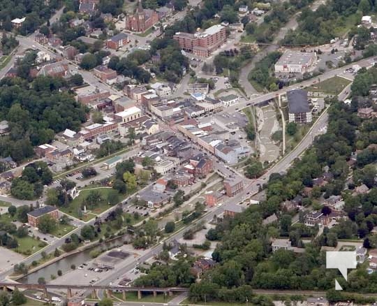
The Municipality of Port Hope is undertaking new floodplain mapping projects to better understand flood risks and increase resilience within the local community.
The project is funded in part through Natural Resources Canada’s Flood Hazard Identification and Mapping Program (FHIMP) and was made possible in part by the Province of Ontario through a Transfer Payment Agreement. It is being carried out in close partnership with the Ganaraska Region Conservation Authority (GRCA). The Municipality is also supporting this project with annual budget contributions.
“As climate-related flood risks grow, having accurate, up-to-date floodplain maps is critical for protecting our residents, businesses and infrastructure” said Mayor Olena Hankivsky of the Municipality of Port Hope. “Thanks to FHIMP funding and the expertise of the Ganaraska Region Conservation Authority, we’re making meaningful progress toward safer and more climate-resilient communities.”
The mapping update project aligns with Priority #1 ‘Understand flood risks’ of the Province’s Flooding Strategy which was released in March of 2020 and updates mapping that, in some cases, is almost 50 years old.
The mapping initiatives will focus on updating previously mapped, flood-prone areas within the municipality by:
• Using high quality Light Detection and Ranging (LiDAR) data provided by the province to build digital terrain models (DTMs) to update hydrologic data and drainage information.
• Surveying culvert and bridge structures.
• Rebuilding detailed hydraulic models of each river and creek system.
• Modelling a range of flood scenarios, using updated rainfall data with consideration for projected climate data.
• Developing updated flood hazard mapping to support informed decision-making on emergency management, land-use planning and asset management efforts.
The updated floodplain maps are expected to be completed by the fall of 2027 and will be shared with the public through the municipal websites and public meetings.
For more information about the project, visit engage.porthope.ca/floodplain-mapping
About FHIMP
The Flood Hazard Identification and Mapping Program (FHIMP) is a federal initiative led by Natural Resources Canada that provides financial and technical support to provinces and municipalities to map flood hazards. The program strengthens Canada’s climate and economic resilience by supporting science-based planning and flood risk reduction efforts that protect properties and lives.
Ontario’s Flooding Strategy: https://www.ontario.ca/page/protecting-people-propertyontarios-flooding-strategy
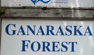
About the Ganaraska Region Conservation Authority
The Ganaraska Region Conservation Authority (GRCA), also known as Ganaraska Conservation, was formed in October 1946, under the Conservation Authorities Act, and is one of the oldest conservation authorities in Ontario. The GRCA works to protect and manage natural resources across the Ganaraska watershed to support environmental health, community safety and sustainable development in partnership with municipalities, residents and various stakeholders.

Author: Pete Fisher
Has been a photojournalist for over 30-years and have been honoured to win numerous awards for photography and writing over the years. Best selling author for the book Highway of Heroes - True Patriot Love