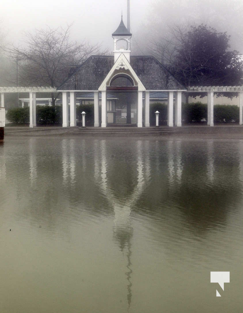
Today’s Northumberland file photo
Report from Toronto Region Conservation Authority regarding Lake Ontario water levels
Please note the following regarding wind and wave forecasts for today and tomorrow:
1. Lake Ontario 24-hour average water level at the Toronto gauge as of this morning was once again 75.94m, with a maximum hourly level value recorded at 75.96m. Please keep in mind that seiche can cause fluctuations in water levels of between 10-20cm, thus should be considered over the average values.
2. Current water level is stable from yesterday’s average. ILOSRB is reporting that Lake Ontario is likely at or nearing its peak water level for this year due to the significant increases to Lake Ontario outflows and the forecasted drier conditions this weekend. It is likely that levels will remain stable for the next week before starting to decline gradually if drier conditions occur. However lake level may still see an additional small rise of a few centimeters if wetter conditions prevail in the coming week.
3. Little to no precipitation in the last 24 hours. Today is forecast to be dry, tomorrow (Monday), 20-25mm of precipitation is forecast
4. Winds today and tomorrow will be sustained ENE 20-25km/h, gusts up to 33km/h. Winds will shift to NW Monday evening overnight, sustained 25-30km/h with gusts up to 50km/h
5. Forecast offshore waves for next 72h: Waves between 0.8 and 1.0m are forecast for Sunday evening/overnight and 0.6-0.8m for Monday. Please note wave models do not take into account local mini seiche between inner harbour and Toronto Islands, nor do they account winds associated with thunderstorms. Thus, higher wave heights can develop under either of those conditions.


